
DEVIL'S LAKE STATE PARK MAP
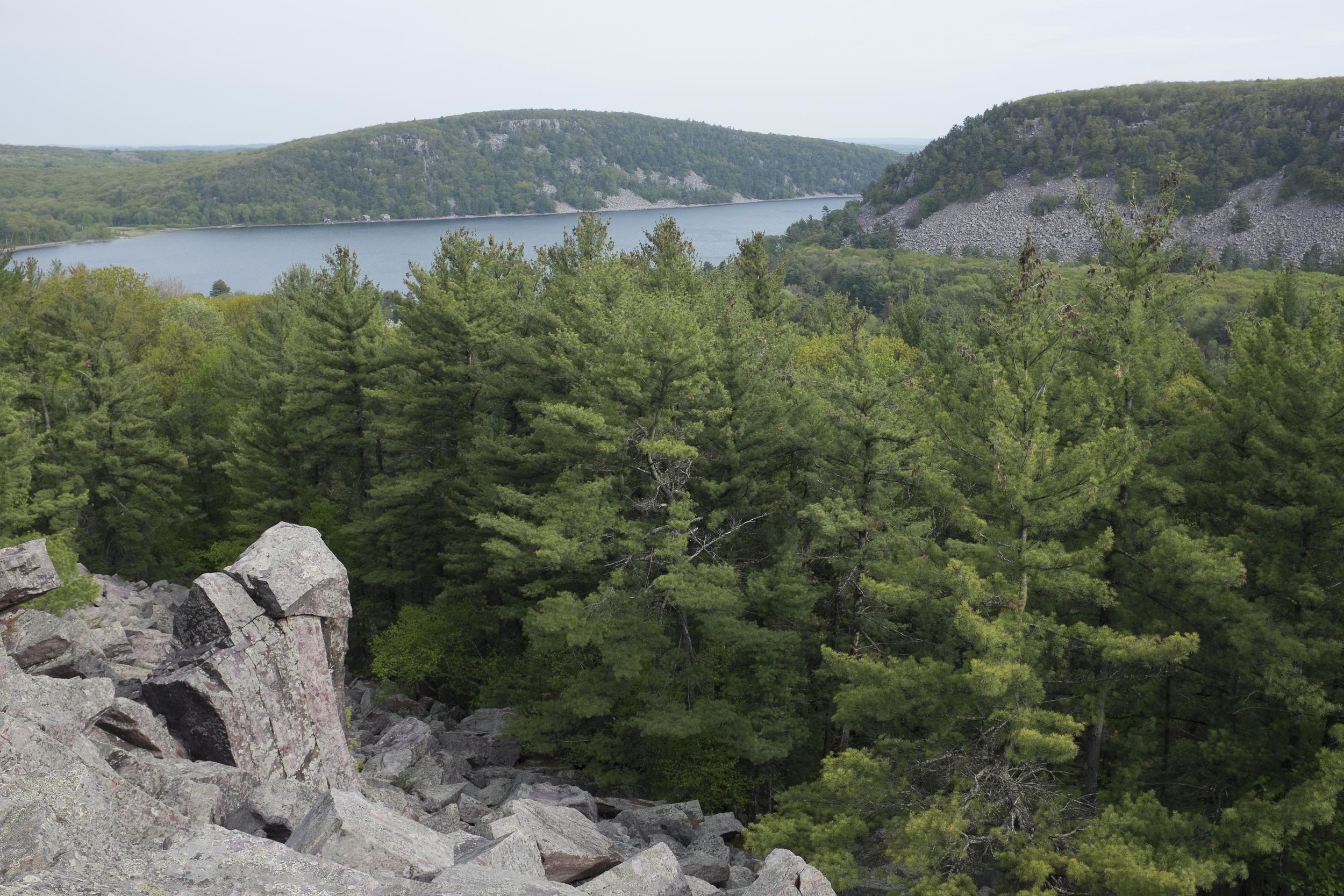
Orient Yourself to Hiking Trails, Visitor Areas & MoreDevils Lake State Park is a lot bigger than most folks realize. While most are familiar with the lakeshore areas and trails along the bluffs, the Park also holds quiet woodland trails, low wetlands, and large areas of trail-less forest to explore.
If you've already explored the lake area thoroughly, check out trails in Steinke Basin to the north, or at Roznos Meadows or Parfrey's Glen to the east. For the really adventurous, the southern section of the Park is a great wilderness area, punctured only by the rough Burma Road on the western side.
Download a copy of the official Devils Lake State Park map by clicking below.

Devil’s Lake State Park Hiking Trails Map
Download the full-size Devils Lake State Park map by clicking the button above. You may save the file to your computer OR print directly from your browser.